- Home
- :
- All Communities
- :
- User Groups
- :
- Conservation GIS
- :
- Documents
- :
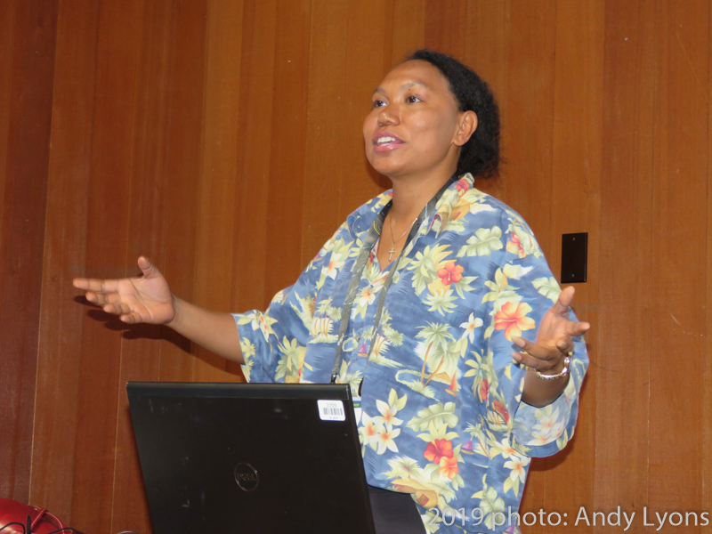
- Andina Krey, 2019 Conference Talk
- Subscribe to RSS Feed
- Mark as New
- Mark as Read
- Bookmark
- Subscribe
- Printer Friendly Page
- Report Inappropriate Content
Andina Krey, 2019 Conference Talk
Andina Krey, 2019 Conference Talk
Andina Anastasia Krey, Government of Papua Province & USAID Lestari Project, Indonesia
x2019Talk xIndigenous xIndigenous Knowledge xForestry xOnline xIndonesia
Video -mp4 HD
ABSTRACT:
"How to use a web GIS tool to gain public participation and to empower the traditional community and local government for protecting a very high biodiversity forest, a case study in Mimika Regency, Papua Province, Indonesia "
Due to their size and biodiversity, Indonesian forests are some of the most important forests in the world. However, primary forest loss in this country happens to be one of the most rapid as well. This is mostly because of land clearing, both legal and illegal. Most forests in western Indonesia have already been destroyed or degraded. Fortunately, many forests in the eastern region remain intact, but are currently facing high threats of land clearing. Located at the most eastern edge of Indonesia is Papua province, which is home to one of the largest forest remains in the country. The Provincial government (Agency of Forestry) has limited staff and funds to monitor its forests. The traditional community live among the forest and has a wide roaming area to collect food in their daily lives. Indonesian law allowed the local government to point out groups of the local community to help the government in monitoring the forests. This local community group has been established and is called Masyarakat Mitra Polhut (MMP). However, again, the government’s budget for the operation of the MMP is limited. Public participation in supporting the operation of MMP is highly important to protect the forests in Indonesia. This study will show how to utilize Esri Arc GIS Online to reach the crowd and help in protecting the forests, and how to engage the local government and empower the traditional community.
