- Home
- :
- All Communities
- :
- Industries
- :
- Public Safety
- :
- Public Safety Blog
- :
- Learn.arcgis.com: Predict Floods with Unit Hydrog...
Learn.arcgis.com: Predict Floods with Unit Hydrographs for Disaster Mitigation
- Subscribe to RSS Feed
- Mark as New
- Mark as Read
- Bookmark
- Subscribe
- Printer Friendly Page
- Report Inappropriate Content
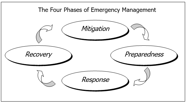
An important aspect about Emergency Management following Recovery is that lessons learned from the Response and Recovery actions inform Mitigation and Preparedness actions.
Understanding Flooding from a torrential downpour or some other upstream event uses a different set of modelling capabilities than quick-and-dirty calculations to get immediate answers during disaster response. When you have time, and you're exploring deeper analysis capabilities to predict what-if flooding scenarios in your jurisdiction, consider using this lesson to more deeply understand this desktop analytical workflow using ArcGIS Pro.
In these lessons, you'll create the unit hydrographs for an outlet on the downstream end of the Little River. First, you'll prepare elevation data and use it to determine the watershed area for the outlet. Based on your watershed and terrain data, you'll create a velocity field, which determines how fast water tends to move in your study area. Using this velocity field, you'll create an isochrone map, which assesses the time it takes for water to travel to the outlet from anywhere in the watershed. Lastly, you'll use the isochrone map to derive a unit hydrograph and interpret what it says about the potential for floods in Stowe.
You must be a registered user to add a comment. If you've already registered, sign in. Otherwise, register and sign in.