Try the resources below to see how using 3D in ArcGIS Online brings an extra dimension into your web GIS.
Get started with 3D
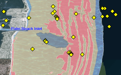
Explore Florida's beaches and inlets in 3D.
Tour Scene Viewer
Watch what's possible with 3D in a browser.
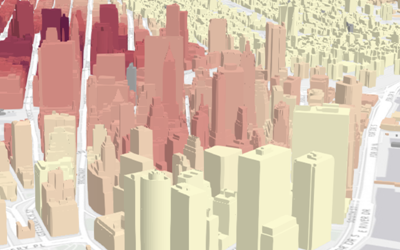
Visualize cities
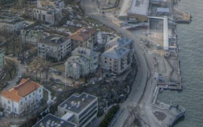
Understand the built environment with real-world 3D visualizations.
Create 3D web apps
See Story Maps come to life with scenes.
Publish scene layers
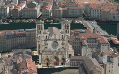
Share your feature data as scene layers.
Customize 3D objects
Develop 3D web apps with mesh data and smart mapping APIs.