- Home
- :
- All Communities
- :
- Events
- :
- User Conference
- :
- User Conference Blog
- :
- Highlight #1: The Expo Experience of Esri UC 2019
Highlight #1: The Expo Experience of Esri UC 2019
- Subscribe to RSS Feed
- Mark as New
- Mark as Read
- Bookmark
- Subscribe
- Printer Friendly Page
- Report Inappropriate Content
Happy UC 2019 GeoNet!
Before I hop into our highlights of the Esri UC, I’d like to introduce myself to you:
I’m Leslie Fountain, a new member of Esri's GeoNet team. I’ll be serving as the Community Content Manager for GeoNet, capturing and sharing the stories and information that this community is generating every day. Nice to e-meet you! (Or should I say Geo-meet you?)
If you’re at the UC come by our booth in the Lifelong Learning Expo or at our Community Meet-up. I’d love to say hello in person.
Now that we’ve got introductions out of the way, let’s get to the good stuff:
2019 Esri UC's Big Ideas
The User Conference Plenary on Day 1 was full of moving stories and big ideas. Take a glance at what was captured from the plenary in the 2019 Esri UC's Big Ideas Infographic. Esri captured the topics and products used in the featured stories from the plenary presentations. Nothing like having digital swag for our digital audience! Download the poster.
See What Others Can't
You can join the conversation going on at the UC by sharing your "aha!" moment with GIS. Post your moment when you realized you could #SeeWhatOthersCant in our GeoNet discussion.
Videos
Clips from the plenary are now available on Esri's YouTube channel. We'll have an overview of the experience as a part of our highlights posted soon.
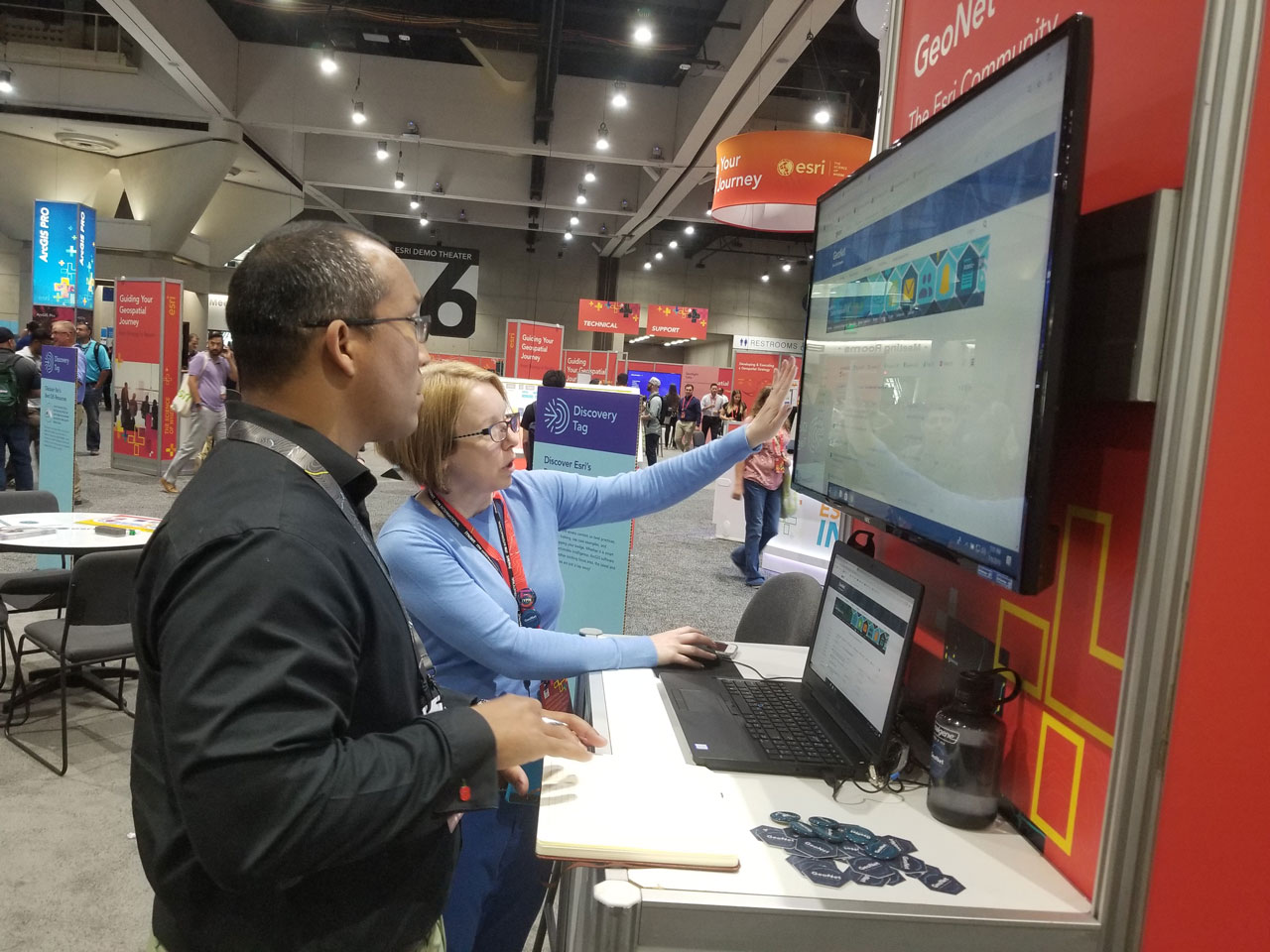
UC 2019 Expo
The GeoNet team was present in the Expo answering questions and meeting users from all over the world in the Lifelong Learning area.
At the booth, we walked a few new and current users through some ways to use GeoNet and listened to feedback about their experience in the community.
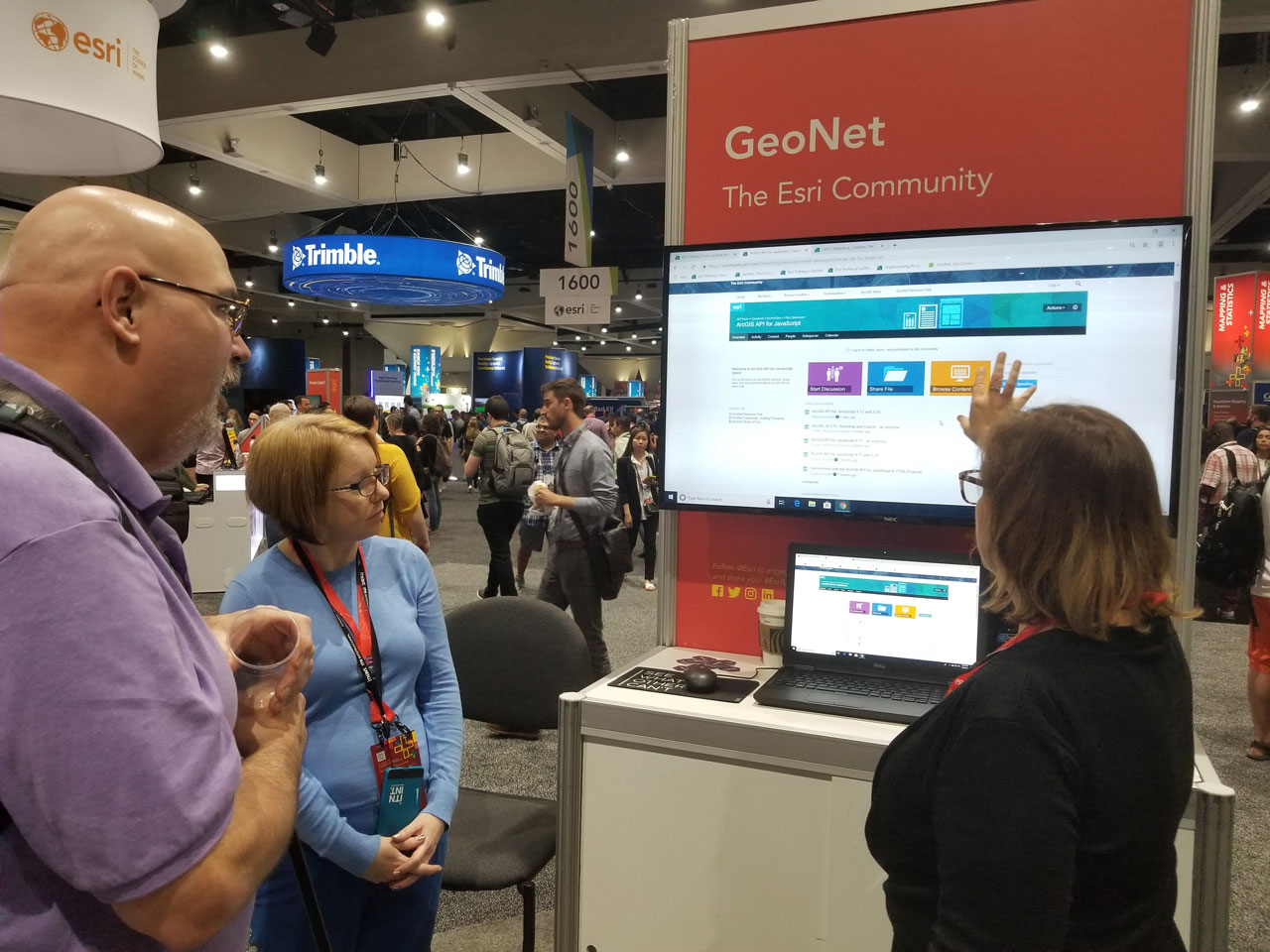
We walked GeoNet Member "Skip" through finding the GeoNet Place for ArcGIS API for JavaScript.
Around the expo, we caught a few cool experiences and attractions:
Have you ever had a dream you were flying? If you want to relive your dreams, check out this booth from PLW Modelworks that’s using an immersive VR experience. Brave VR fans can simulate flying over the New York City skyline and are encouraged to crash into a few buildings for surprise virtual worlds.
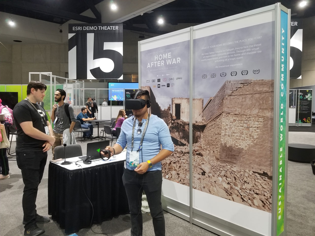
If you’re not willing to fly, you can head over to the sustainable world area to check out Home After War, an award-winning virtual reality experience where you can see the perspective of an Iraqi father returning to Fallujah, Iraq to his home that’s facing the imminent threat of war.
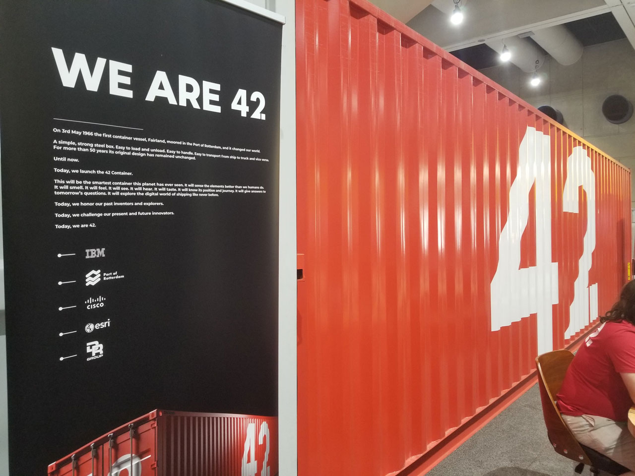
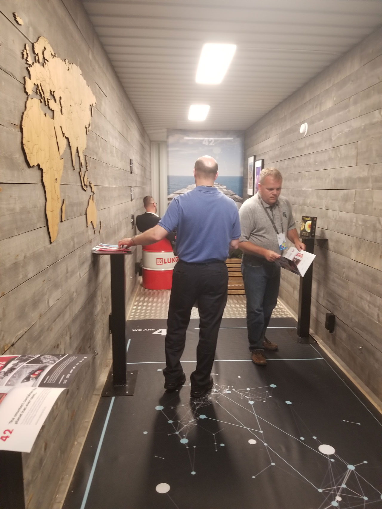
Port of Rotterdam brought a 42' shipping container to the Expo floor. This smart shipping container has been traveling the world, equipped with sensors that monitor temperature and other metrics of its environment as it moves from location to location.
| Port of Rotterdam showcases a smart shipping container, equipped with solar panels, sensors, and more. | UC attendees meet and walk through the shipping container. |
|---|---|
 |  |
GeoNet Member Highlight
 |
Back at the GeoNet booth, we had the pleasure of meeting long-time GeoNet member Kevin Chrichlow of Algonquin College in Ontario, Canada. He asked some great questions about how to leverage the GeoNet Community with his students, and we asked him a few questions about his experience with GeoNet. Here’s what he shared:
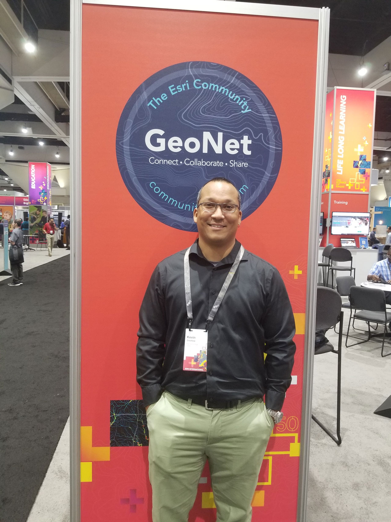 Early in Kevin's GIS career, he started using GeoNet as a college student seeking answers to questions about ArcGIS extensions. Once he dove into the community where dialogue and conversations were happening around products and their new releases, he found GeoNet as a valuable resource for getting answers to common questions when using ArcGIS products. The impression of the community as a key resource for problem-solving stayed with him as he progressed in his career. Now, as a Professor, he's looking for ways to give that same discovery and access to his college students as a part of his educational curriculum. We shared with him about the capabilities of the GeoNet's groups and places to meet his needs.
As a first time UC attendee, Kevin described his experience at the conference as "mind-blowing." He mentioned this idea about bridging the experience of GeoNet with his students had been on his mind for at least the past two years. The potential for students to use the database of problem-solving built within the community over time not only can increase his students capacity for using the products but can increase their self-sufficiency for independent learning.
Kevin, we appreciate you taking the time to talk with us and sharing your story!
Summits, Sessions, & Symposiums
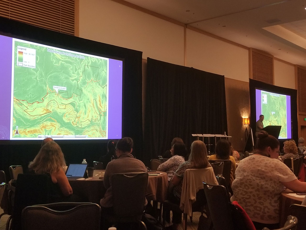
At the GIS Managers Summit, we learned how GeoNet member Marvin Davis, a GIS team of one in the City of Oak Hill, West Virginia used ArcGIS Pro to propose a new walking trail at Needleseye Park. It's one of the many features coming to the park, that will serve as an attraction for hiking and rock climbing enthusiasts in his region.
- A 3D Master Plan of the park built with ArcGIS Pro and City Engine can be viewed here.
CX team member Kory Kramer gave us a Pirates of the Caribbean experience in his UC session with Jill Scholz and Susan Tran to show an audience how to use new features in the latest release with a few tips and tricks to get things done effectively and efficiently.
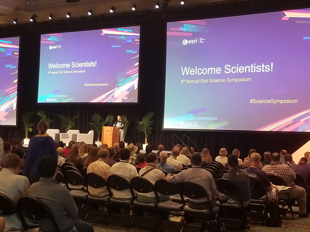 | 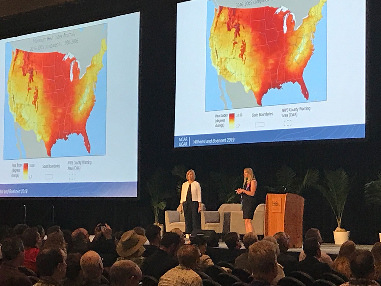 |
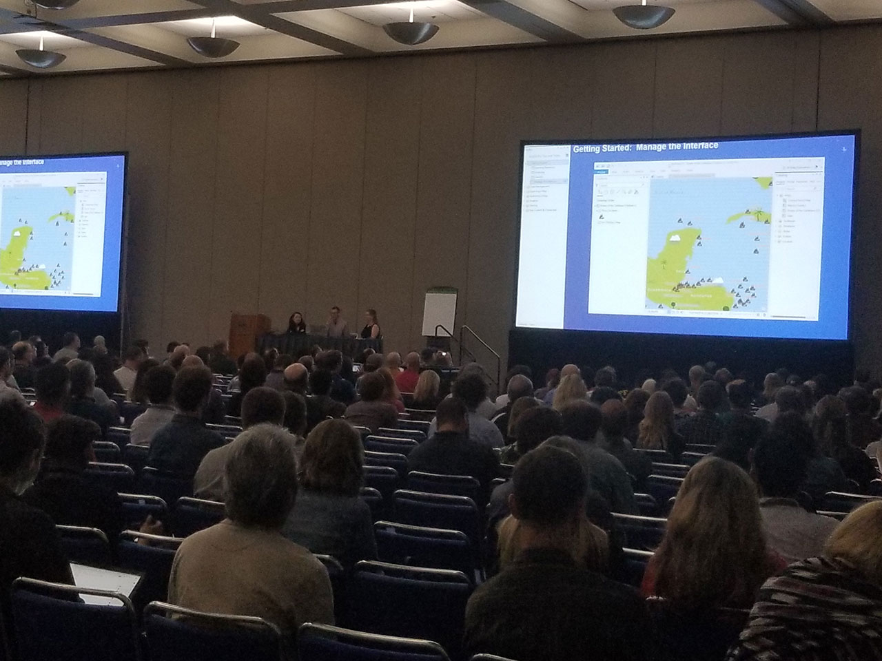
Dawn Wright opened the Science Symposium to a large group of scientists at the UC. For one of the presentations, the National Center for Atmospheric Research (NCAR) focused on the prevalence of heatwaves in the United States and its potential impact on vulnerable populations. In ArcGIS Pro, they created a map showing areas with high temperatures that raise concerns for public health.
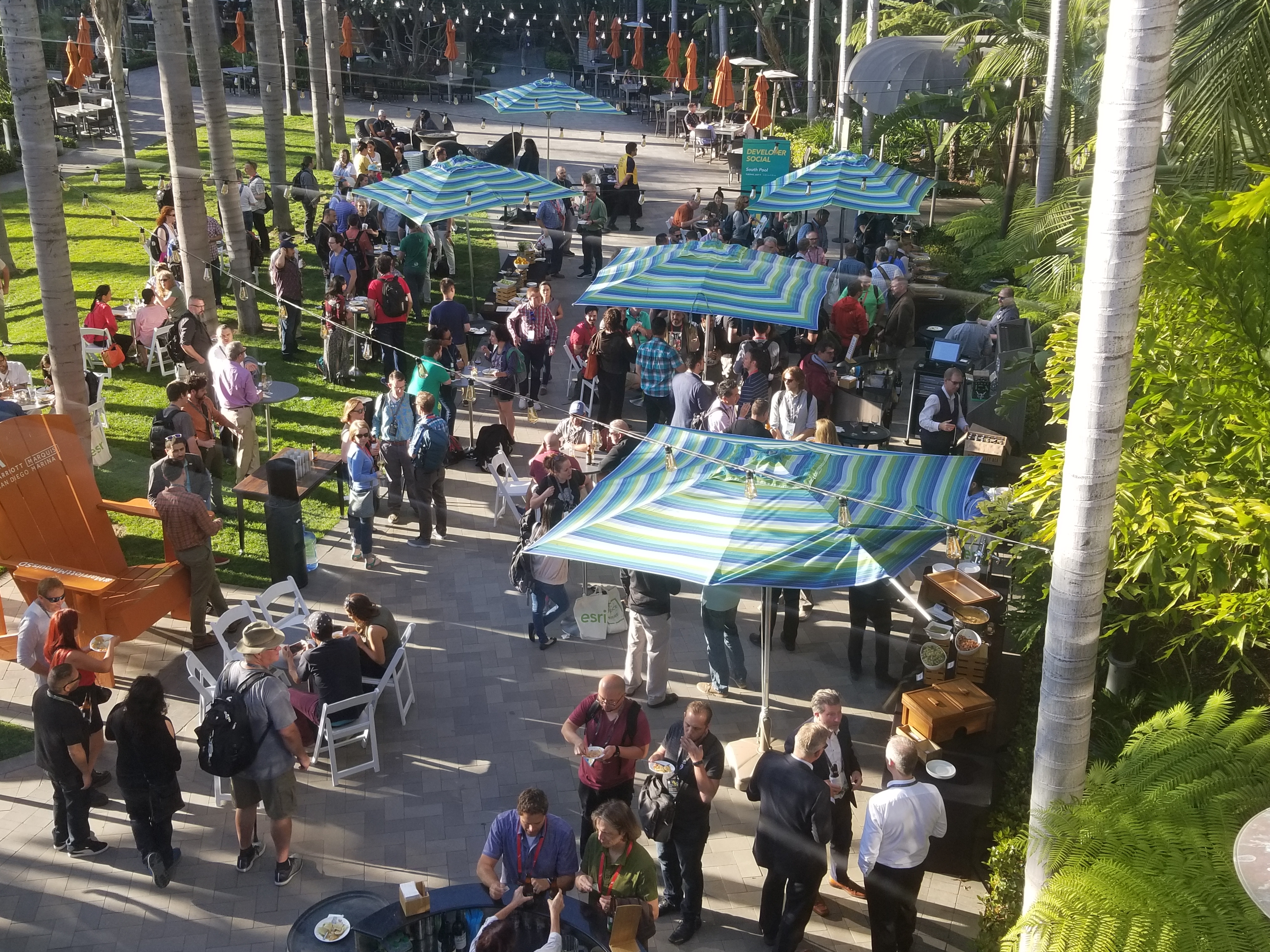
We wrapped up the evening at the Developer Social, where we chatted with developers of the ArcGIS StoryMaps and caught some special guests walking through the event. GeoNet MVP member Andres Castillo and the GeoNet team got a chance to meet in person for the first time and have a great conversation.
 |  |
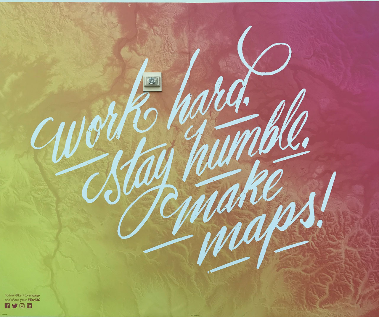
For Day 3, we're looking forward to hosting our first GeoNet 101 Session at User Conference 2019 to help attendees join the community. Stay tuned! I'll be back to share more of the 39th Esri User Conference Here's a little something from the walls of the UC to remember...
More highlights:
Highlight #1: The Expo Experience at Esri UC 2019
Highlight #2: Maps and Their Makers at UC 2019
Highlight #3: Plenary Focuses on Our Community, Our World
Highlight #4: GeoNet Community Unites, Shares Stories
Highlight #5: Stats from UC 2019, Map Gallery and GeoNet Award Winners
You must be a registered user to add a comment. If you've already registered, sign in. Otherwise, register and sign in.