- Home
- :
- All Communities
- :
- Industries
- :
- Education
- :
- Education Blog
- :
- Fun with GIS 239: Teacher Profile: Lyn Malone
Fun with GIS 239: Teacher Profile: Lyn Malone
- Subscribe to RSS Feed
- Mark as New
- Mark as Read
- Bookmark
- Subscribe
- Printer Friendly Page
- Report Inappropriate Content
A true craftsman uses skill developed deliberately, with attention to detail, and often with signature elements. Lyn Malone is a craftswoman. A teacher of social studies in grades 7-12 from 1970-2002, and provider of professional development since, Lyn designed lessons, activities, and projects used by thousands that covered key content, but did so with the eye of an artist and mind of an analyst. Even her casual conversation uses complete sentences that vary in structure.
"My Bachelors degree was in history, and my Masters in American Civilization, which is much more interdisciplinary than straight history." Her early teaching career spanned the breadth of the social studies, all in senior high. "But I always loved geography, always loved maps. I went down to Middle School in 1983, and started going in evenings to Rhode Island School of Design," building over the years a certificate in scientific and technical illustration. She started doing maps, and illustrations of historical artifacts, but that industry shifted to digital faster than could a full-time teacher who was also working with the new Rhode Island Geography Education Alliance.
As with many educators in the 1990's, GIS did not come easily for Lyn. "I went to at least three full-day workshops introducing GIS, and loved them, but couldn't make anything happen. That's why the 1998 institute" [an intense, two-week, day-long, GIS boot camp for teachers] "was such a huge boost." What followed were new activities, interdisciplinary, sometimes in concert with colleagues in other departments, schools, and even states, and built always from the perspectives of both designer and analyst. "I loved working with data, especially about population. Not so much building it, but finding and discovering what could be done with data others had assembled."
In 2000, Barrington Middle School won the first "Esri Community Atlas" contest, which challenged students to craft a website with simple but powerful maps portraying the community. Lyn and three students from grades 7-8 were invited to present their work on stage at the 2000 Esri User Conference. It was so well crafted and delivered that Roger Tomlinson ("the father of GIS") stood in line to talk with them, General James Clapper congratulated them and handed each student a commemorative coin, and Esri president Jack Dangermond whispered "We have to do this again," launching what has become a regular UC Plenary highlight.

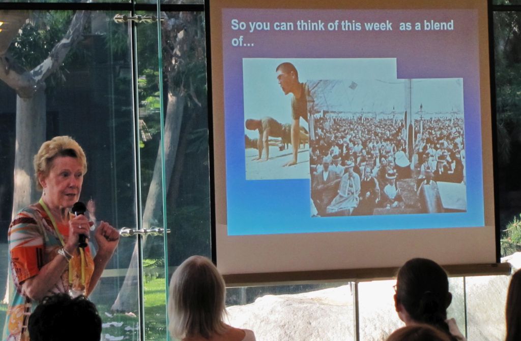
With signature panache, Lyn models the latest in GIS vocabulary at T3G,
and dons foul weather gear to model GeoNews for a class.
Those attributes earned Lyn a spot co-authoring a ground-breaking curriculum package, Mapping Our World (in several versions), followed by Community Geography. In 2009, Lyn helped launch Esri's educator institute, Teachers Teaching Teachers GIS (T3G). Numerous events in New England and far beyond, for educators and the wider public, have featured her activities and presentations, always models of focus, detail, and elegant design.
 Describing T3G as "Part boot camp, part religious revival," Lyn captures the essence.
Eventually, though, even artisans slow down. With almost five decades of instruction behind her, Lyn is looking forward to a little more leisurely travel, reading, art, and maybe classes, with fewer deadlines. But the many thousands who have engaged with her lessons stand a chance of seeing a complicated world more clearly, with geographic patterns and relationships illuminated through GIS. Thank you, Lyn!
You must be a registered user to add a comment. If you've already registered, sign in. Otherwise, register and sign in.
-
Administration
38 -
Announcements
44 -
Career & Tech Ed
1 -
Curriculum-Learning Resources
178 -
Education Facilities
24 -
Events
47 -
GeoInquiries
1 -
Higher Education
518 -
Informal Education
265 -
Licensing Best Practices
46 -
National Geographic MapMaker
10 -
Pedagogy and Education Theory
187 -
Schools (K - 12)
282 -
Schools (K-12)
184 -
Spatial data
24 -
STEM
3 -
Students - Higher Education
231 -
Students - K-12 Schools
85 -
Success Stories
22 -
TeacherDesk
1 -
Tech Tips
83
- « Previous
- Next »