- Home
- :
- All Communities
- :
- Industries
- :
- Education
- :
- Education Blog
- :
- Teaching with resources from the Science Portal in...
Teaching with resources from the Science Portal in ArcGIS Online
- Subscribe to RSS Feed
- Mark as New
- Mark as Read
- Bookmark
- Subscribe
- Printer Friendly Page
- Report Inappropriate Content
Since we are getting ready to celebrate Earth Science Week, Geography Awareness Week, and GIS Day (www.gisday.com) in the next two months, this seems like an appropriate time to mention the resources available through the Esri sciences portal in ArcGIS Online (http://science.maps.arcgis.com/home/index.html). Teaching with and learning from the resources on the sciences portal is easily done with only a web browser required, yet the portal includes key themes in the sciences and offers an immersive, rich set of 2D and 3D maps and apps. For example, the Drought Tracker allows you to examine drought since the year 2000 by region and by county, making it easy to combine themes of climate, weather, landforms, land use, and the disciplines of science, geography, and mathematics. Other maps and data sets cover the topics of ocean currents, sea surface temperature, satellite image bands, and more.
Click on Gallery to see the full set of maps available here. Click on Apps-> Web to see even more. From the landing page URL above, click on “scene” for a gallery of 3D scenes, including visualizing typhoons, airline routes, and cities. My favorite of these scenes, though, is the “interesting places” set, which guides you to spectacular Earth landforms such as volcanic craters, incised river meanders, and others around the world This set can be used as an instructional aid in geomorphology, earth science, or physical geography courses. The scene covers the entire Earth, so at any point you can zoom and pan to other landforms that you wish to examine and encourage your students to do the same. And check back often because the science portal is refreshed often.
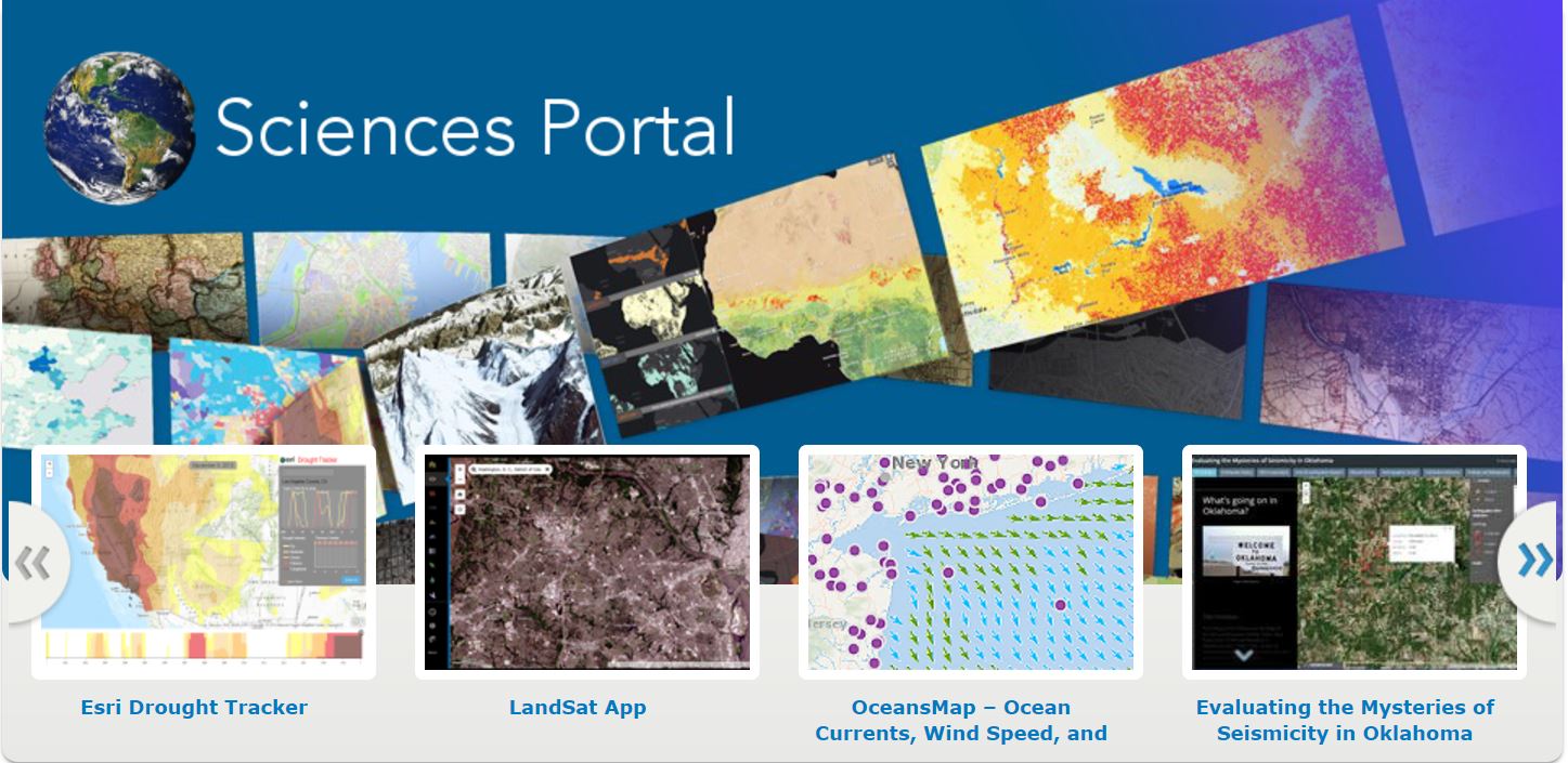
Landing page in the Esri Science Portal.
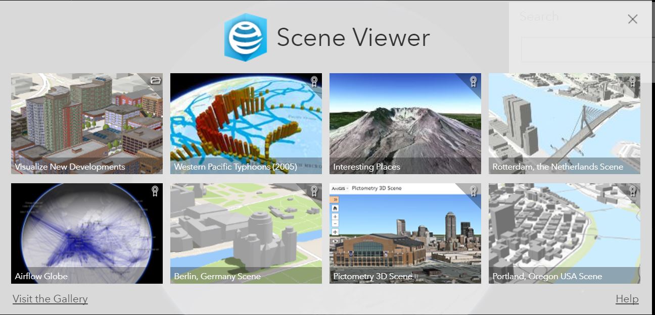
3D Scenes in the Esri Science Portal.
You must be a registered user to add a comment. If you've already registered, sign in. Otherwise, register and sign in.
-
Administration
38 -
Announcements
44 -
Career & Tech Ed
1 -
Curriculum-Learning Resources
177 -
Education Facilities
24 -
Events
46 -
GeoInquiries
1 -
Higher Education
518 -
Informal Education
264 -
Licensing Best Practices
46 -
Pedagogy and Education Theory
187 -
Schools (K - 12)
282 -
Schools (K-12)
183 -
Spatial data
24 -
STEM
3 -
Students - Higher Education
231 -
Students - K-12 Schools
84 -
Success Stories
22 -
TeacherDesk
1 -
Tech Tips
83
- « Previous
- Next »