Turn on suggestions
Auto-suggest helps you quickly narrow down your search results by suggesting possible matches as you type.
Cancel
Why is GIS Valuable?
Subscribe
2701
0
06-28-2017 11:44 PM
- Subscribe to RSS Feed
- Mark as New
- Mark as Read
- Bookmark
- Subscribe
- Printer Friendly Page
- Report Inappropriate Content
06-28-2017
11:44 PM
The advent of another GIS Day provides a good opportunity to reflect upon the value of GIS. GIS is used, according to some estimates, by 1.5 million people each day, and by over 400,000 organizations. Even these estimates are a few years old. The point, though, is that to these people and organizations, GIS adds value. Otherwise, they wouldn’t use it. Why and how does GIS add value?
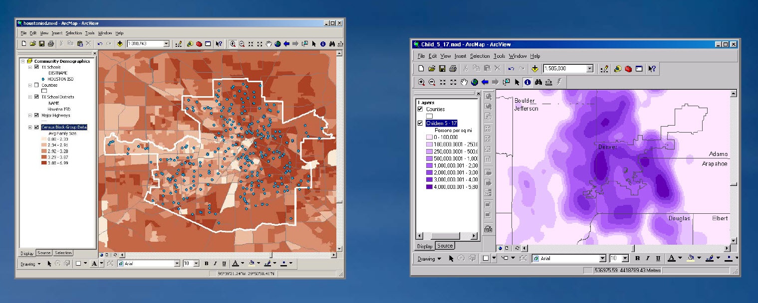
GIS technology adds value to everyday work because it makes that work more efficient. We can accomplish more in a given workday. This is true for those managing a city’s bus system to those managing wildlife habitats, and in thousands of other situations. It is also true in education. Back when I was an undergraduate student working in the cartography lab, it took me several days to make a dot density map for Iowa counties, inking, for example, one dot for every 1,000 hogs. I did so on a special large format plastic material using various thicknesses of Rapidograph pens and my Leroy lettering kit. Nowadays, with a GIS, creating this type of map takes only minutes. I can change the dot density map to a chart map or graduated color map of the same data. More importantly, I can look at related agricultural data, the same data for a different area, or trends in hog farming over time. But beyond gains in efficiency, GIS has also opened up new possibilities. Reducing the time spent making the map has allowed me and thousands of others to do what we always wanted to spend more time on—analyzing spatial data, examining patterns, relationships, and trends. Don’t get me wrong—we still like making maps, but I don’t relish those hours next to the sink adjacent to the cartography lab, blowing water and air through the 000 pen to get the ink flowing again.
GIS is also valuable because it is not one tool but a system containing hundreds of tools in a single environment. GIS also is valuable because it is an interdisciplinary toolkit. It is used to analyze social zones on a campus, the locations of hazardous chemicals or fiber optic cables, and species of plants in the gardens on that same campus. Globally, this same toolkit can be applied to subjects as diverse as urban planning, epidemiology, demography, wildlife management, and seismology. GIS is also valuable because it helps communicate complex ideas because it uses the powerful medium of the map, which for centuries has helped to explain connections. Today, the communications capabilities of GIS are enhanced with its close integration with other electronic multimedia. Through tools such as ArcGIS Online, it is easier than ever to tell a story through maps, and share that story easily with others. Finally, GIS is valuable because it enables critical thinking—about the data and the issues that the data uncover.
What other reasons why GIS adds value would you add to this list?
- Joseph Kerski, Esri Education Manager
You must be a registered user to add a comment. If you've already registered, sign in. Otherwise, register and sign in.
About the Author
I believe that spatial thinking can transform education and society through the application of Geographic Information Systems for instruction, research, administration, and policy.
I hold 3 degrees in Geography, have served at NOAA, the US Census Bureau, and USGS as a cartographer and geographer, and teach a variety of F2F (Face to Face) (including T3G) and online courses. I have authored a variety of books and textbooks about the environment, STEM, GIS, and education. These include "Interpreting Our World", "Essentials of the Environment", "Tribal GIS", "The GIS Guide to Public Domain Data", "International Perspectives on Teaching and Learning with GIS In Secondary Education", "Spatial Mathematics" and others. I write for 2 blogs, 2 monthly podcasts, and a variety of journals, and have created over 5,000 videos on the Our Earth YouTube channel.
Yet, as time passes, the more I realize my own limitations and that this is a lifelong learning endeavor and thus I actively seek mentors and collaborators.
Labels
-
Administration
38 -
Announcements
44 -
Career & Tech Ed
1 -
Curriculum-Learning Resources
178 -
Education Facilities
24 -
Events
47 -
GeoInquiries
1 -
Higher Education
518 -
Informal Education
265 -
Licensing Best Practices
46 -
National Geographic MapMaker
10 -
Pedagogy and Education Theory
187 -
Schools (K - 12)
282 -
Schools (K-12)
184 -
Spatial data
24 -
STEM
3 -
Students - Higher Education
231 -
Students - K-12 Schools
85 -
Success Stories
22 -
TeacherDesk
1 -
Tech Tips
83
- « Previous
- Next »