Turn on suggestions
Auto-suggest helps you quickly narrow down your search results by suggesting possible matches as you type.
Cancel
- Home
- :
- All Communities
- :
- Industries
- :
- Education
- :
- Education Blog
- :
- How Can GIS Help With AP Human Geography? Part 2 o...
How Can GIS Help With AP Human Geography? Part 2 of 2
Subscribe
1320
0
06-29-2017 12:34 AM
- Subscribe to RSS Feed
- Mark as New
- Mark as Read
- Bookmark
- Subscribe
- Printer Friendly Page
- Report Inappropriate Content
06-29-2017
12:34 AM
In my last column, I discussed the contents and increasing popularity of the College Board’s Advanced Placement Program (AP) Human Geography course.
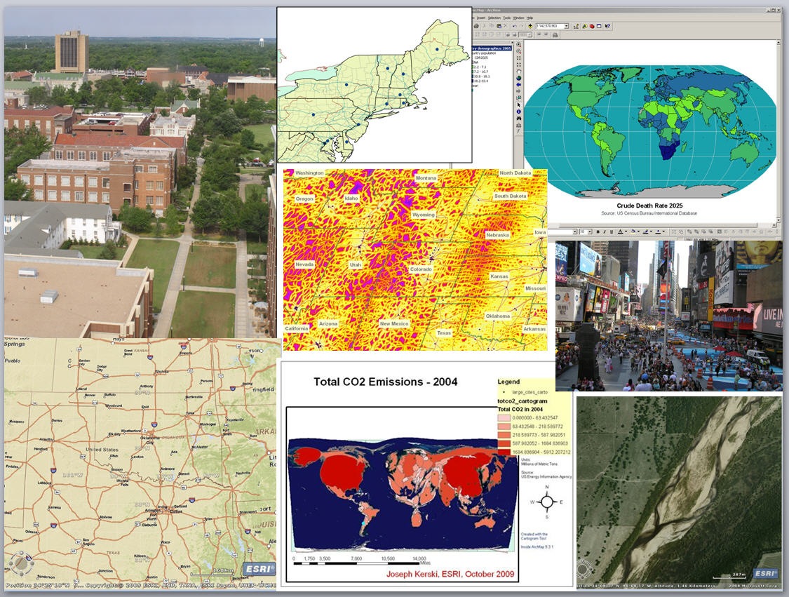
One of the five major goals in the AP Human Geography (APHG) course is to enable students to “use and think about maps and spatial data.” I like the fact that both the terms “use” and “to think” are included. Using maps and spatial data implies a rich engagement with maps as analytical tools, not just as reference documents as wall maps or atlases to look up locational facts. To really use maps in a critical thinking, problem-solving framework means to classify data in different ways, to use spatial statistics to examine the relationship of, say, literacy rate to life expectancy, or traffic to city size, to ask questions of the data, and be able to incorporate additional map layers to grapple with complex problems. This can be effectively done within a GIS environment. Using ArcGIS from Esri allows students to do all of these things and more, in both 2D and 3D, with the same toolkit that professionals use, analyzing the essential APHG topics such as population, migration, language, agriculture, and land use.
In so doing, students will be addressing two other APHG goals that have to do with understanding and interpreting associations among place-based phenomena, and the changing interconnections among places. And, because GIS and spatial analysis depends on scale, students will meet the APHG goal to “recognize and interpret at different scales the relationships among patterns and processes.”
I believe that for a geography instructor not to be using GIS as one of his or her major instructional tools is analogous to a chemistry instructor not to be using the Periodic Table of the Elements. GIS is one of the fundamental tools of geographers, and students who are exposed to this tool will be better problem solvers and critical thinkers not just in Geography, but in other subjects, both while in school and after they graduate.
What will you do to promote the use of GIS in AP Human Geography and throughout education?
- Joseph Kerski, Esri Education Manager
You must be a registered user to add a comment. If you've already registered, sign in. Otherwise, register and sign in.
About the Author
I believe that spatial thinking can transform education and society through the application of Geographic Information Systems for instruction, research, administration, and policy.
I hold 3 degrees in Geography, have served at NOAA, the US Census Bureau, and USGS as a cartographer and geographer, and teach a variety of F2F (Face to Face) (including T3G) and online courses. I have authored a variety of books and textbooks about the environment, STEM, GIS, and education. These include "Interpreting Our World", "Essentials of the Environment", "Tribal GIS", "The GIS Guide to Public Domain Data", "International Perspectives on Teaching and Learning with GIS In Secondary Education", "Spatial Mathematics" and others. I write for 2 blogs, 2 monthly podcasts, and a variety of journals, and have created over 5,000 videos on the Our Earth YouTube channel.
Yet, as time passes, the more I realize my own limitations and that this is a lifelong learning endeavor and thus I actively seek mentors and collaborators.
Related Articles
How Can GIS Help With AP Human Geography? Part 1 of 2
JosephKerski
Esri Notable Contributor
0 Kudos
0 Comments
Labels
-
Administration
38 -
Announcements
45 -
Career & Tech Ed
1 -
Curriculum-Learning Resources
179 -
Education Facilities
24 -
Events
47 -
GeoInquiries
1 -
Higher Education
519 -
Informal Education
266 -
Licensing Best Practices
46 -
National Geographic MapMaker
17 -
Pedagogy and Education Theory
187 -
Schools (K - 12)
282 -
Schools (K-12)
185 -
Spatial data
24 -
STEM
3 -
Students - Higher Education
231 -
Students - K-12 Schools
86 -
Success Stories
22 -
TeacherDesk
1 -
Tech Tips
83
- « Previous
- Next »