- Home
- :
- All Communities
- :
- Products
- :
- Data Loading Tools
- :
- Data Loading Tools Blog
- :
- The Data Loading Tools - Video Series
The Data Loading Tools - Video Series
- Subscribe to RSS Feed
- Mark as New
- Mark as Read
- Bookmark
- Subscribe
- Printer Friendly Page
- Report Inappropriate Content

The Data Loading Tools are provided by Esri to help you streamline loading data from a source to a target dataset, with the ability to perform in-flight data transformation.
A series of videos are provided to help you better understand these tools and how you can get started using them today.
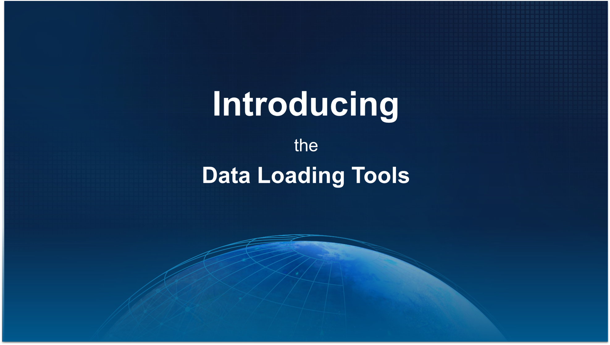
- Video 1. Introducing the Data Loading Tools
- Video 2. Set the stage
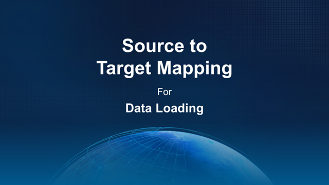
- Video 3. Source to target mapping
- Video 4. Advanced mapping
Video 5. Review your data loading (cancelled)- What's New? (September 2020)
(1) In the first video, we introduce a series of demonstrations on how you can use these tools to consolidate data from various sources and schemas into a new target schema.
To get started with the tools, go to www.esriurl.com/dlt for more information.
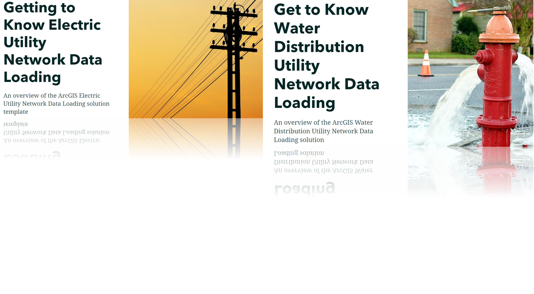
Configurations of the Data Loading Tools are available for both Water Distribution and Electric Distribution and Transmission systems. Explore these configurations to better understand how to migrate from the Geometric Network to a Utility Network.
- Getting to Know Electric Utility Network Data Loading
- Introduction to Water Distribution Data Management for ArcGIS Enterprise
(2) In the second video, we go through the steps to get started with your first data loading project. You will first learn how to clone your python environment and install the data loading tools package.

Then, we will define our input and target datasets to create our data loading workspace, and explore the structure of the data loading workspace before executing the data load.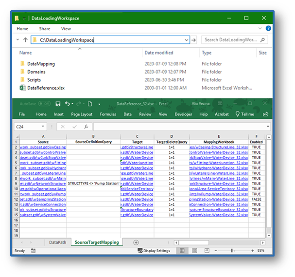
(3) In the third video, you will learn how to map your own source and target datasets using the Data Loading workspace.
We step through the process of preparing the data loading workspace, mapping the source fields to target fields, translating hardcoded values, and mapping coded value domains using expressions and lookup columns to improve the accuracy of the data loading.

(4) In the fourth video, you will learn how to use inline expressions and external functions to further streamline some of your data transformation process, and understand the mapping of data models which support subtypes.

You must be a registered user to add a comment. If you've already registered, sign in. Otherwise, register and sign in.