Turn on suggestions
Auto-suggest helps you quickly narrow down your search results by suggesting possible matches as you type.
Cancel
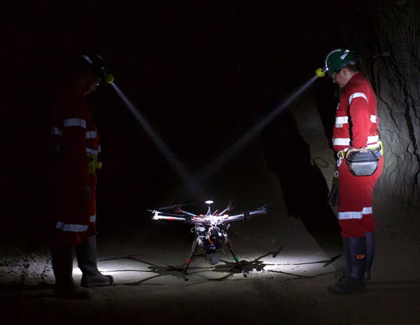
Underground mapping using drones
Subscribe
713
0
11-12-2018 12:00 PM
- Subscribe to RSS Feed
- Mark as New
- Mark as Read
- Bookmark
- Subscribe
- Printer Friendly Page
- Report Inappropriate Content
11-12-2018
12:00 PM
A colleague sent me this interesting article about underground mapping using drones. Check out the images in the article. https://newatlas.com/hovermap-emesent-drones-tunnels-mines/57093/#p544783
If anyone has any data from something like this, the 3D team would love to have at it!
You must be a registered user to add a comment. If you've already registered, sign in. Otherwise, register and sign in.
About the Author
Esri technical evangelist and product advocate. On a good day I'm making a map. On a great day I'm on one.
https://www.linkedin.com/in/bernszukalski/
bszukalski@esri.com