- Home
- :
- All Communities
- :
- Products
- :
- ArcGIS Living Atlas of the World
- :
- Living Atlas Blog
- :
- Where is the fire?
Where is the fire?
- Subscribe to RSS Feed
- Mark as New
- Mark as Read
- Bookmark
- Subscribe
- Printer Friendly Page
- Report Inappropriate Content
by Michael Dangermond
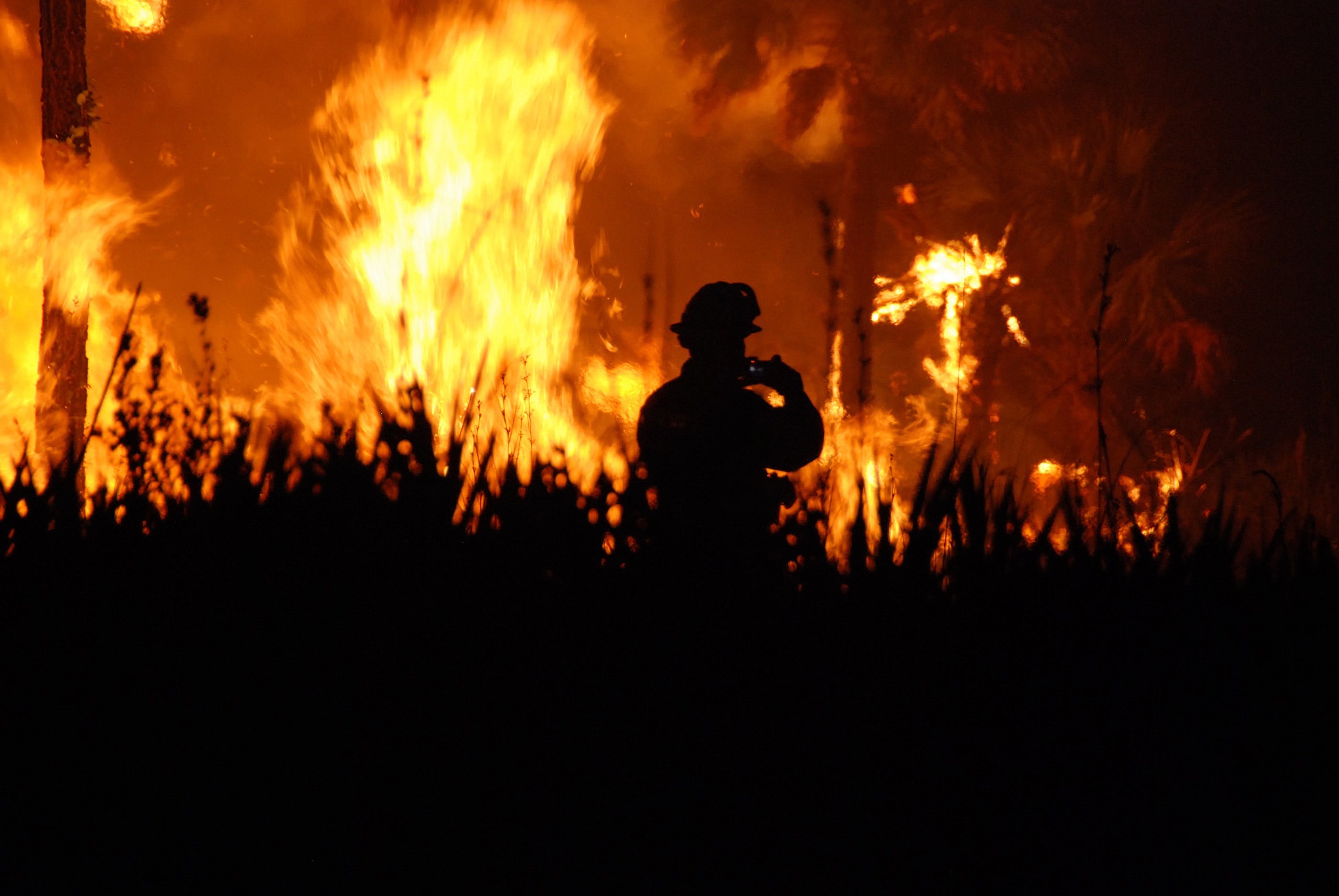
Years of drought and soaring temperatures have made much of Western North America a tinderbox. As expected, fire season has come upon us strongly and suddenly. How can we keep up with the rapid spread of these devastating fires?
A new fire map assembles the most important and timely information available about these devastating fires, mashing up satellite fire detections, fire perimeters, and a smoke forecast.
Fire Map
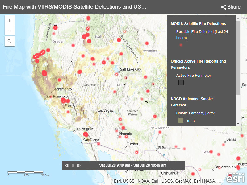
Fire detections in this map come from two sources, the MODIS satellites with 1km resolution, and the Suomi NPP VIIRS satellite with 375m resolution. The MODIS satellite service may be found in the Living Atlas, detections are updated once or twice daily. The VIIRS satellite provides 7 times the density of information due to its higher resolution, and at this time they are only a WMS service. That means the VIIRS detections appear only as small red dots, with no information in the popup window when you click on the points.
Also of interest to North Americans is the National Weather Service Smoke Forecast, updated every 24 hours. The NDGD smoke forecast plays as an animation inside the map. Watch the time indicator at the bottom of the map, it shows future local time as forecasted particulate levels are displayed.
You must be a registered user to add a comment. If you've already registered, sign in. Otherwise, register and sign in.