ArcGIS Online Basemaps and the Living Atlas have been updated with User Contributions
- Subscribe to RSS Feed
- Mark as New
- Mark as Read
- Bookmark
- Subscribe
- Printer Friendly Page
- Report Inappropriate Content
In our continued commitment to improve the ArcGIS Living Atlas of the World, the ArcGIS Content Team has enhanced the Community Basemaps by incorporating new and updated content. Thanks to the user community, the World Topographic Map has been updated with new contributions and updates in the United States, Europe and South America.
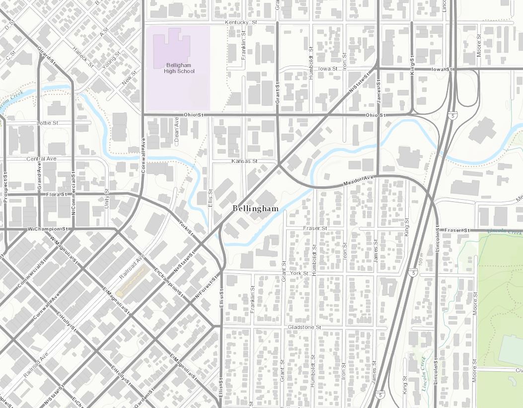
We’ll welcome our newest 9 contributors first. Beginning on the west coast of the United States is Bellingham, WA (Topo 1:9k to 1:1k).
Bellingham, WA 1:9K
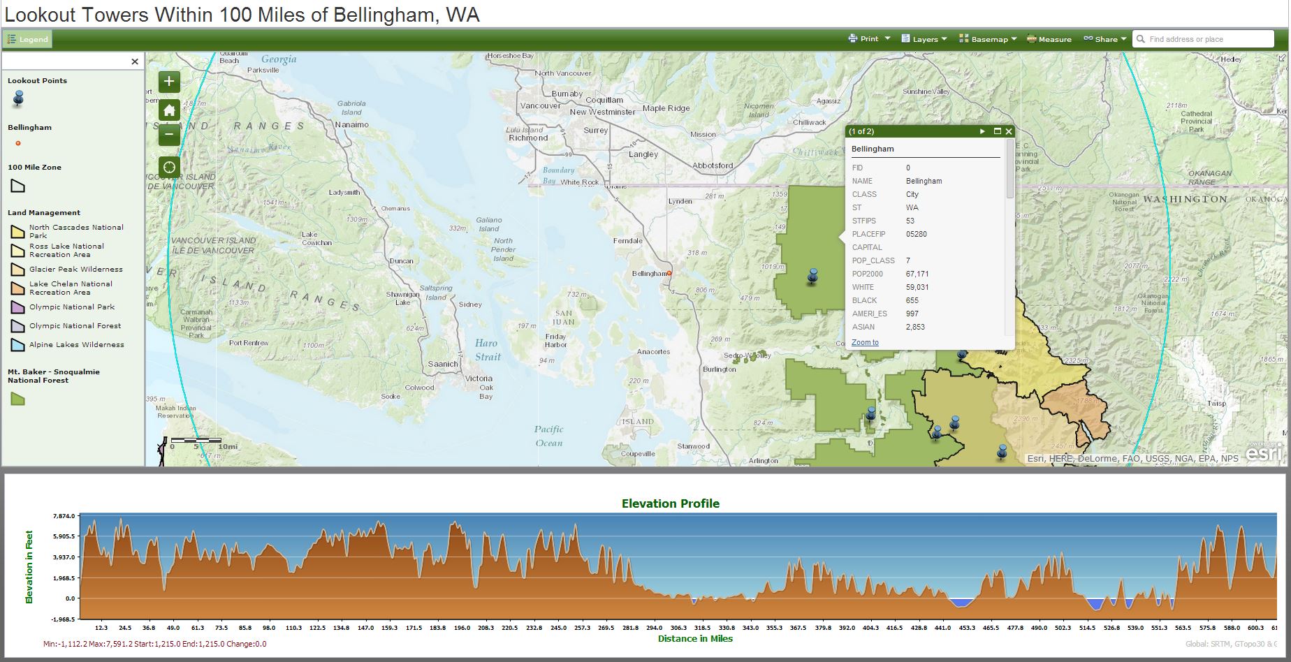
With each summer comes increased fire danger across the United States. Mitigation and awareness are key factors in wildfire prevention. Fire lookouts within our nation’s national forests can be useful in spotting and issuing warnings to area residents. This web app of Fire Lookouts was created by students at Western Washington University. The map includes important information including land management boundaries, slope profiles and lookout points with a 100 mile radius around Bellingham.
Shifting our focus to the inter-mountain west, there are three new contributors in Colorado. Eagle County, CO (Topo 1:9k to 1:1k), Loveland, CO (Topo 1:9k to 1:1k) and Pueblo, CO (Topo 1:9k to 1:1k).
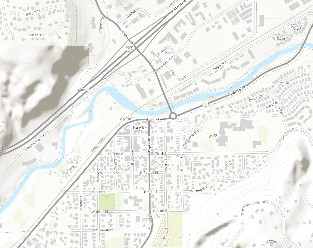
Eagle County, CO (Eagle, CO county seat) 1:9K
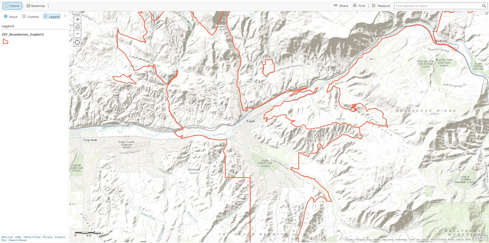
Eagle County has created some basic web maps showing zip code boundaries throughout the county.
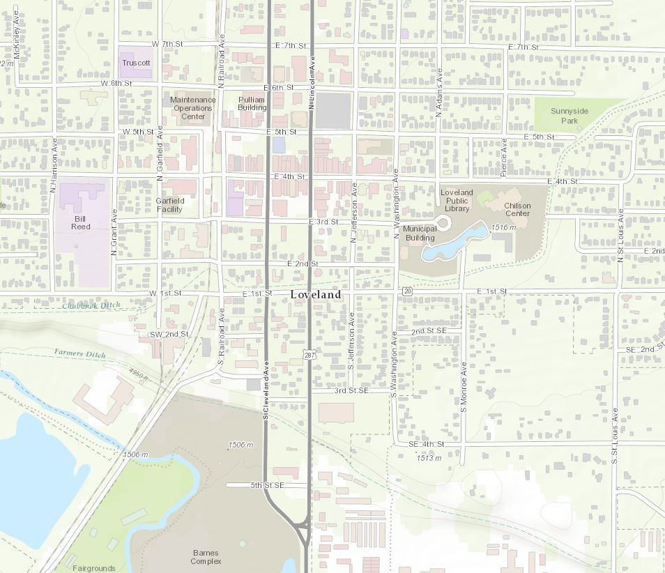
Loveland, CO 1:9K
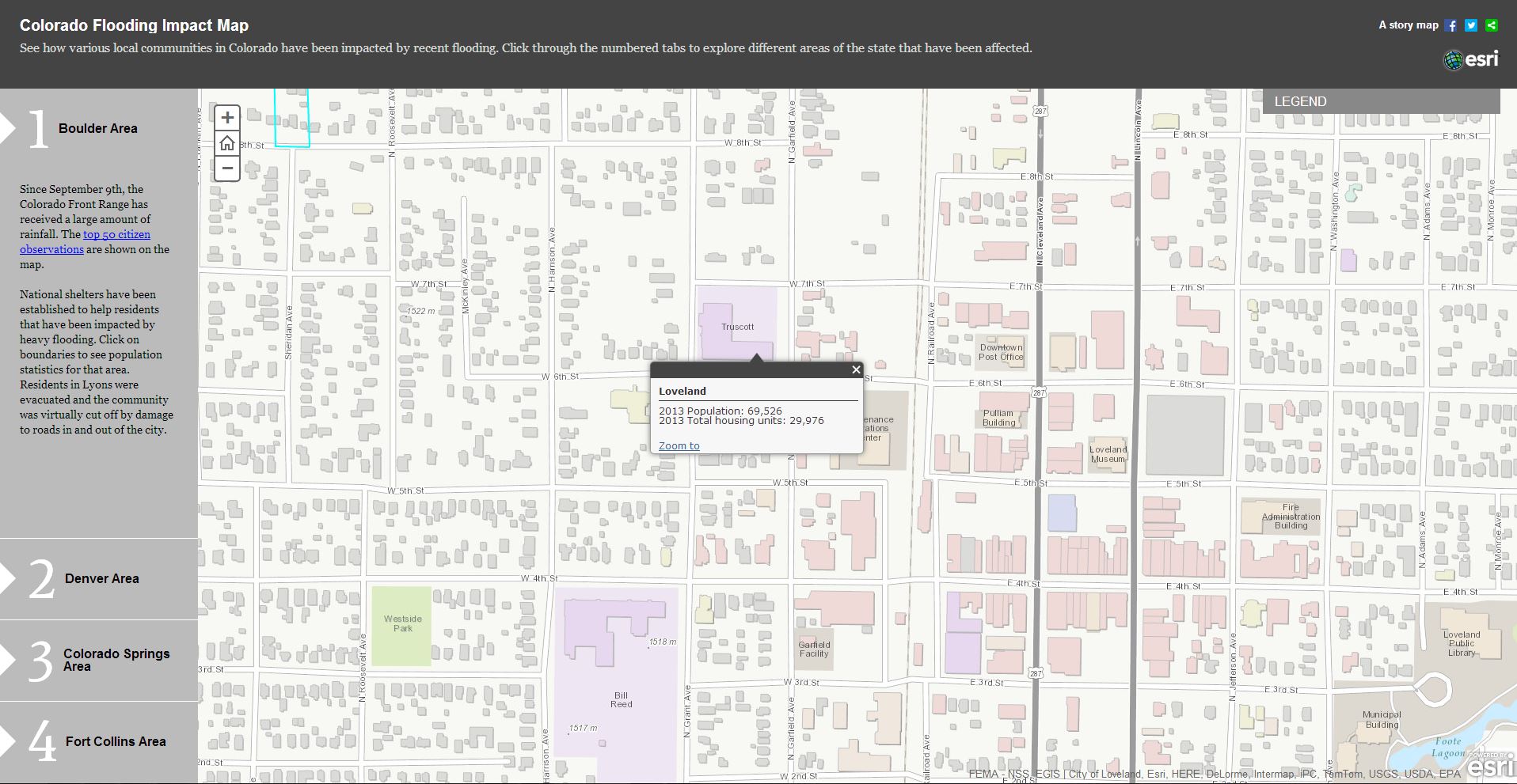
Loveland was one of many communities impacted by last year’s floods in many regions of Colorado. This web app, created by members of Esri’s Disaster Response Team, explores different areas in the state that were affected. The map detail below shows both population and total housing units that were impacted by flood damage. Now that Loveland’s content is incorporated into online basemaps, better planning and decisions will be made when a natural hazard strikes in the future.
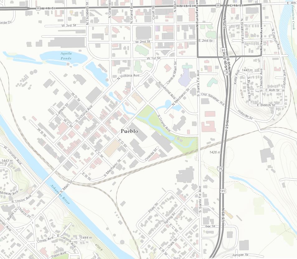
Pueblo, CO 1:9K
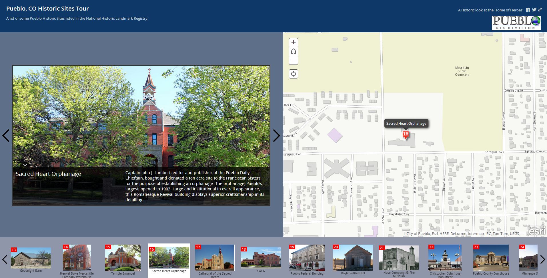
Great web apps like this one that explores the historic sites listed in the National Historic Registry were created to take advantage of contributed content from Pueblo.
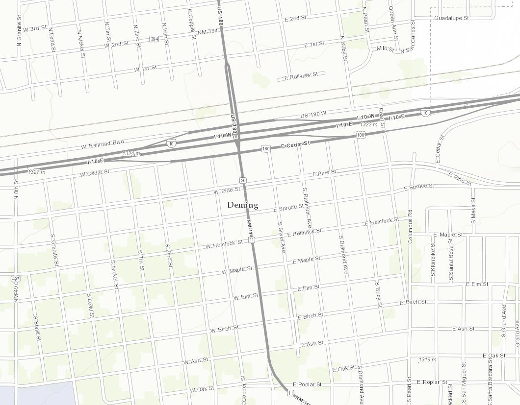
Heading south we find Luna County, NM (Topo 1:9k to 1:1k). Luna County lies just north of the Mexican border and contains three mountain ranges: Cooke’s Range in the north, the Florida Mountains on the southeastern side of Deming near the center of the county, and the Tres Hermanas Mountains in the southern part of the county near Columbus.
Luna County, NM (Deming, NM county seat) 1:9K
Our next new contributor is located in our nation’s heartland, Fulton County, OH (Topo 1:9k to 1:1k).
Fulton County, OH (Wauseon, OH county seat) 1:9K
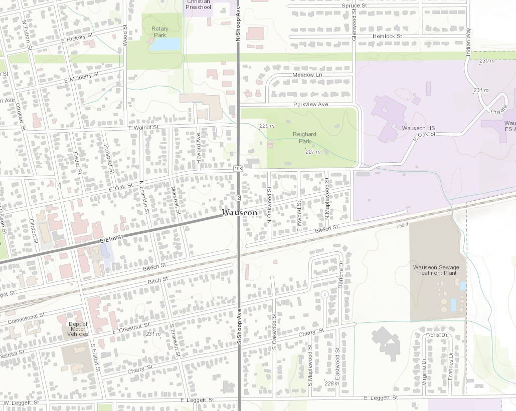
Fulton County is part of the Toledo, OH, Metropolitan Statistical Area and was named for Robert Fulton, inventor of the steamboat.
Heading down to the southeast we find our next two contributors, Shelby County, TN (Topo 1:9k to 1:1k), and University of North GA (Topo 1:9k to 1:1k).
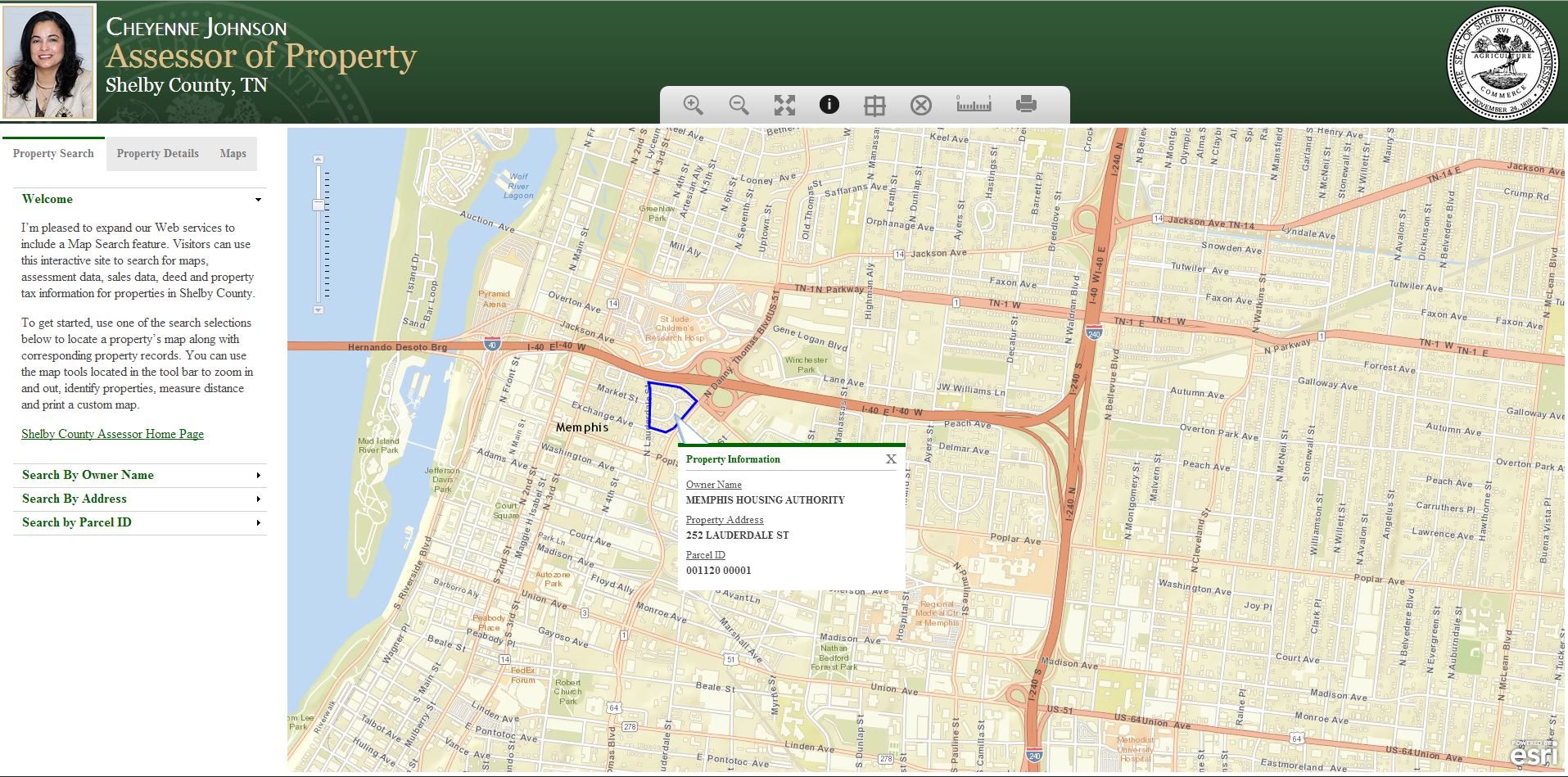
Shelby County, TN (Memphis, TN county seat) 1:9K
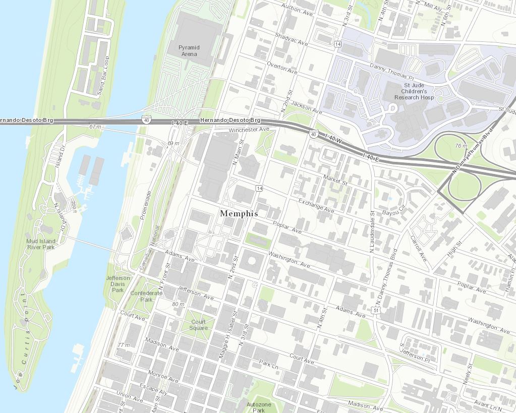
The Shelby County Tax Assessor Dept. created this web map that allows users to search for properties based on owner, address, and parcel ID. They are taking advantage of having their content leveraged across several online basemaps by offering the user a choice of basemaps to use when searching for property information.
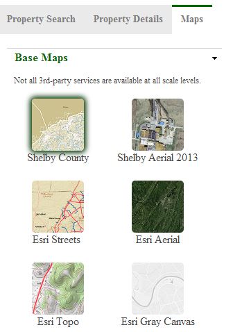
In this example the Streets Basemap was used for this search.
University of North GA 1:2K
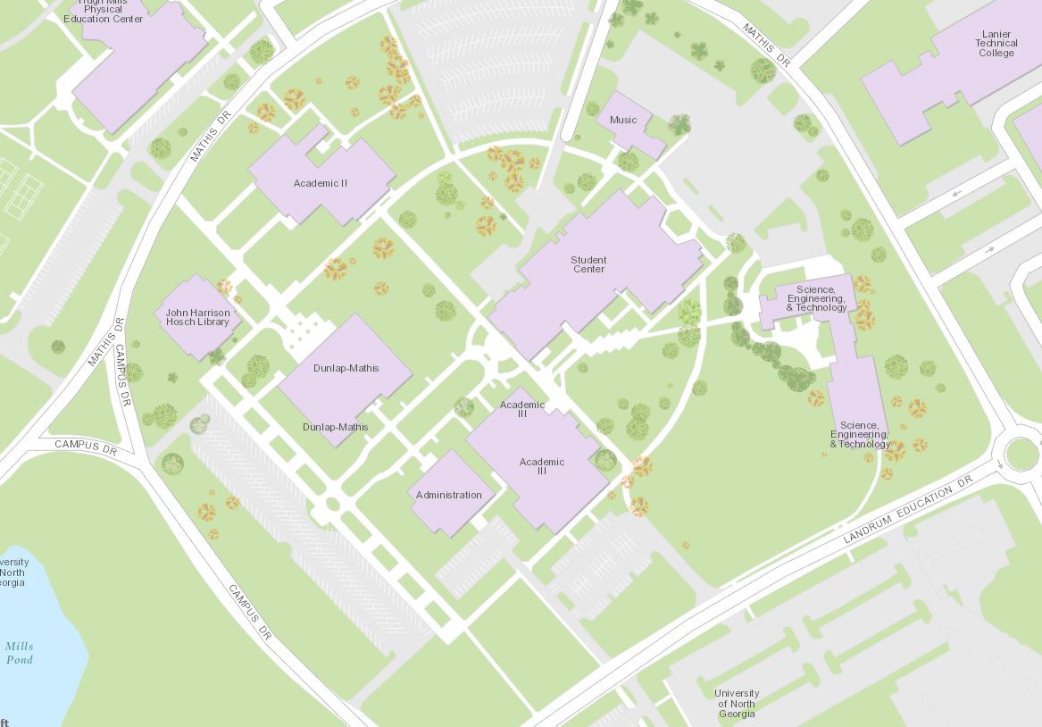
In 2012, the University System of Georgia approved the consolidation of North Georgia College and State University with Gainesville State College to form a new institution, the University of North Georgia in January 2013. We will be seeing some useful campus-level detailed maps soon.
Heading even farther south, we find our last new contributor, Altagracia, Venezuela (Topo 1:9k to 1:1k).
Altagracia, Venezuela 1:9K
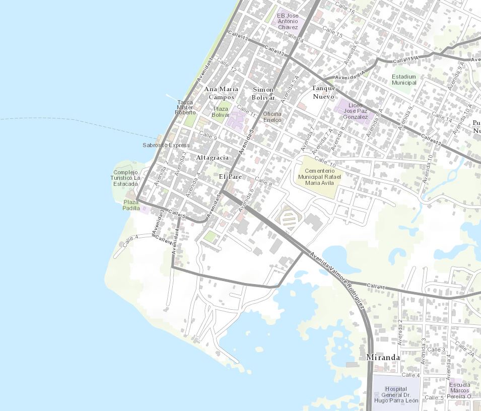
This contribution as well as a couple of updates that are detailed below were provided by Esri Venezuela.
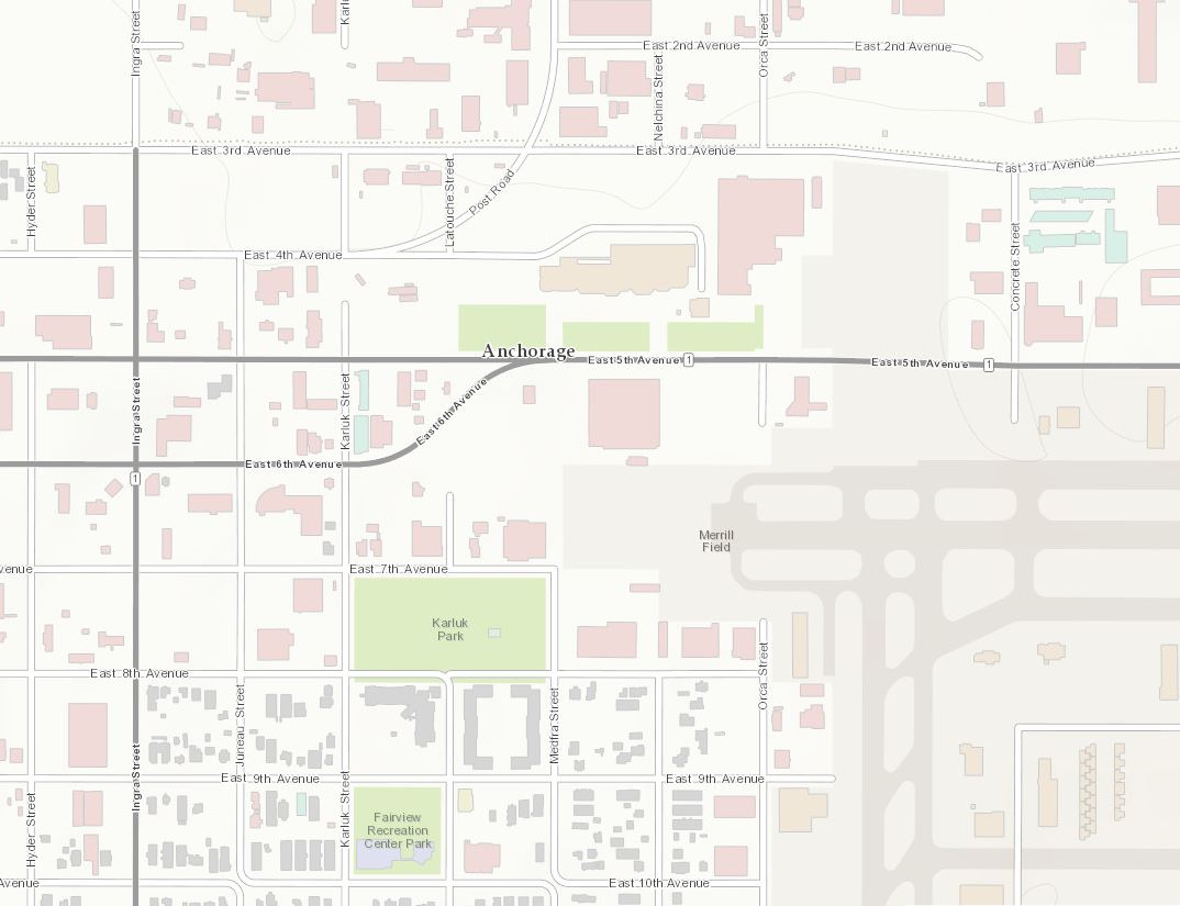
In addition to the great new contributions, there are also 9 updates. Starting on the west coast of the United States, Anchorage, AK (Topo 1:9k to 1:1k), and Tacoma, WA (Topo 1:9k to 1:1k).
Anchorage, AK 1:9K
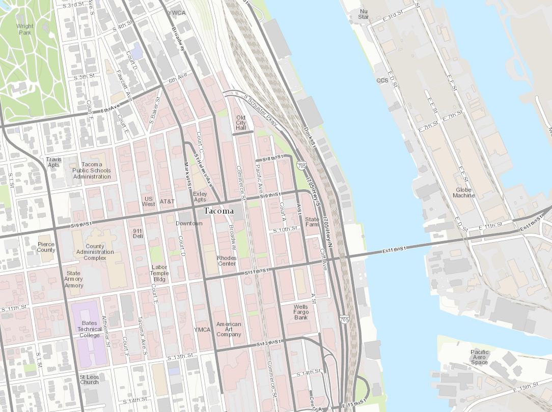
Tacoma, WA 1:9K
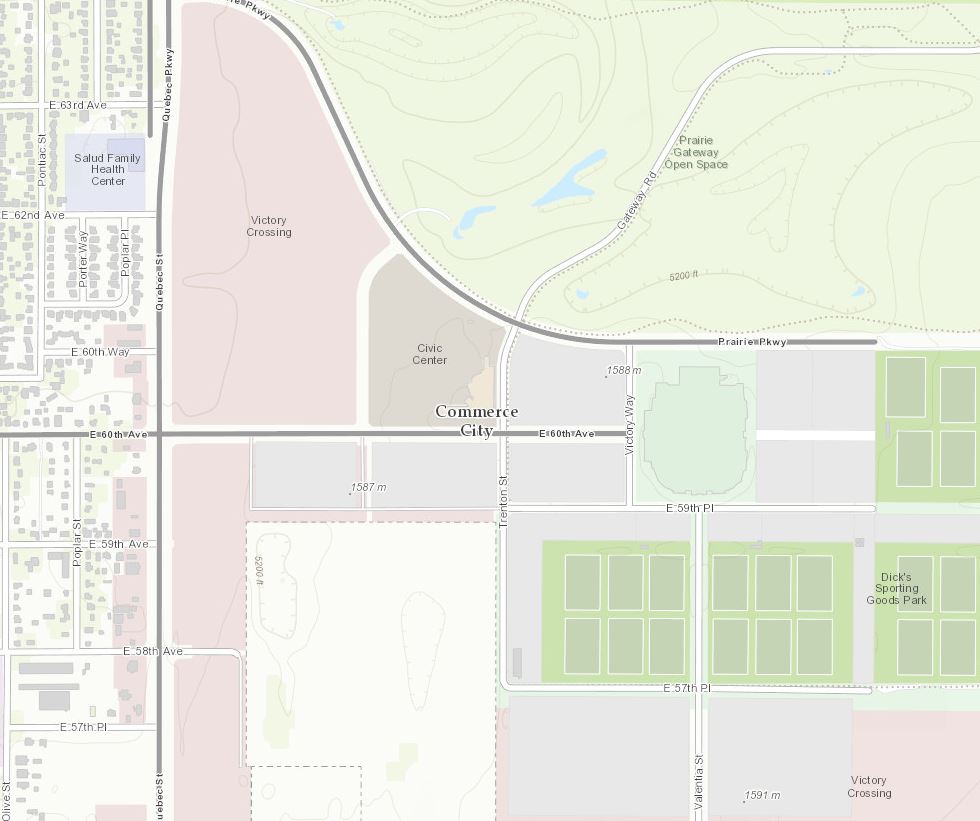
In the Rocky Mountain region is Commerce City, CO (Topo 1:9k to 1:1k).
Commerce City, CO 1:9K
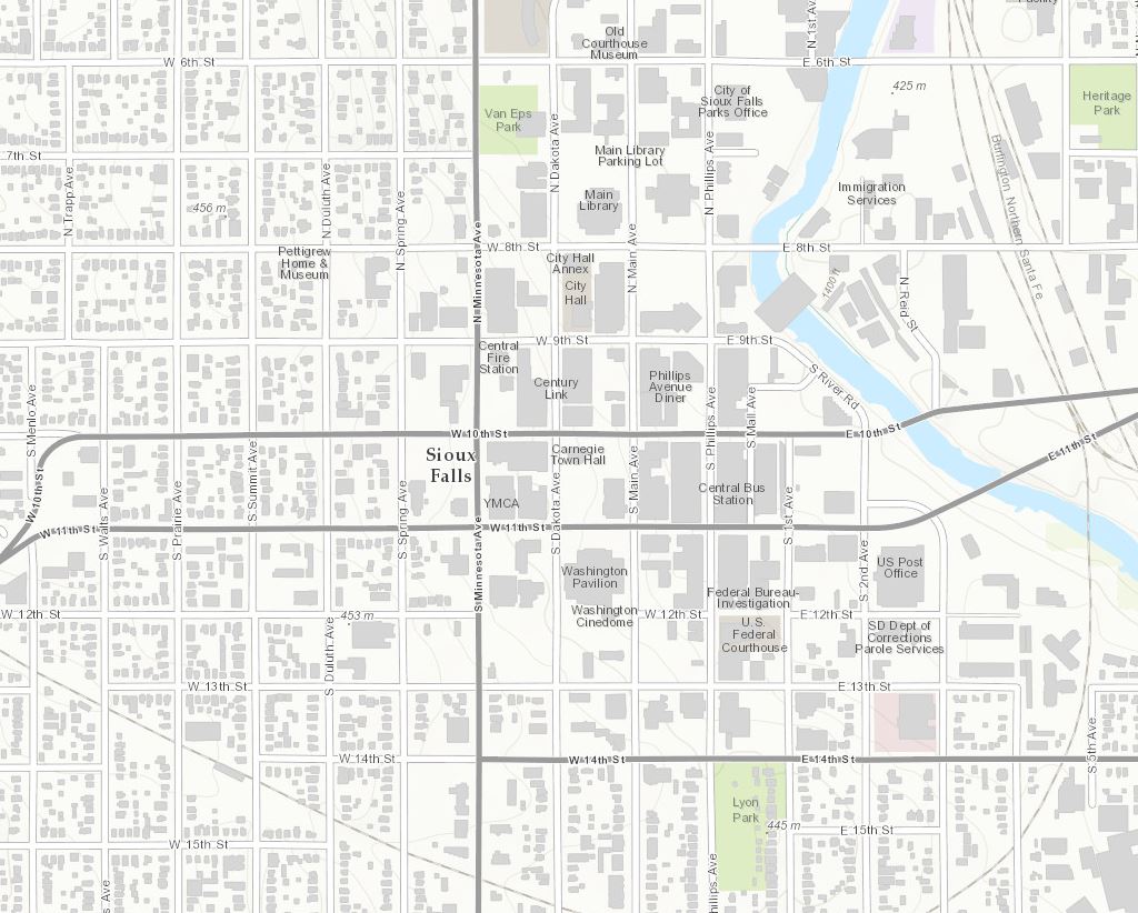
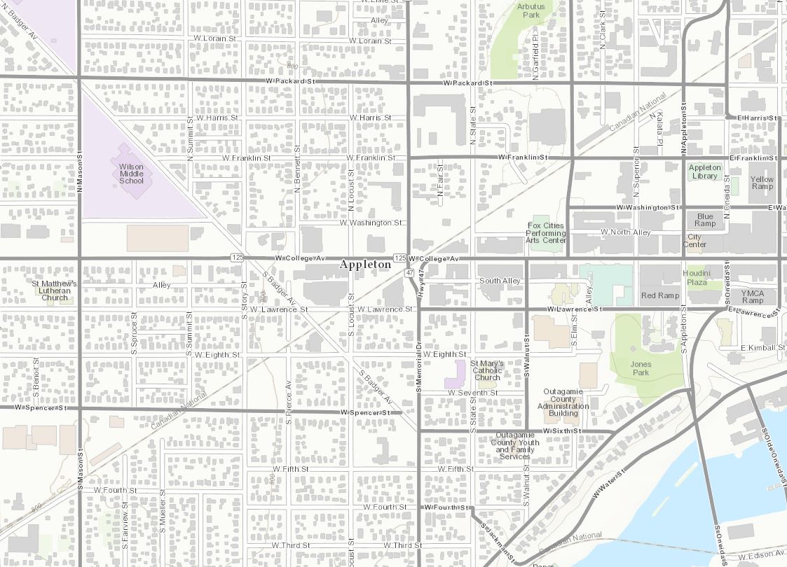
There have been two updates in the Midwest, Sioux Falls, SD (Topo 1:9k to 1:1k) and Appleton, WI (Topo 1:9k to 1:1k).
Sioux Falls, SD 1:9K
Appleton, WI 1:9K
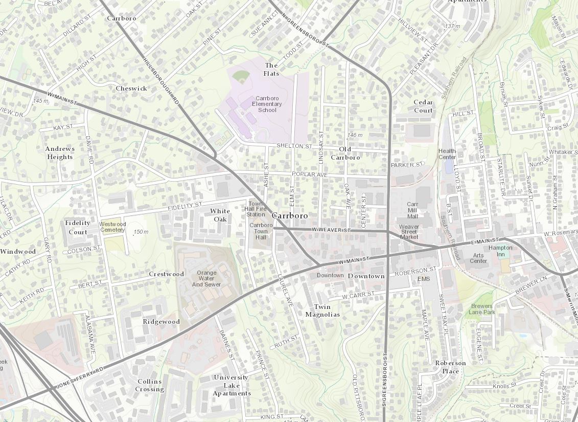
Carrboro, NC (Topo 1:9k to 1:1k) in the southeast has been updated.
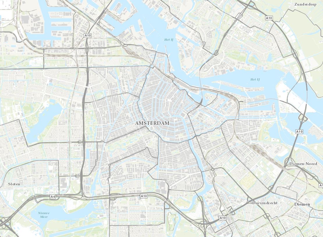
There have been updates to cities in both Europe and South America. First is the Netherlands (Topo 1:72k to 1:1k).
Netherlands 1:72K
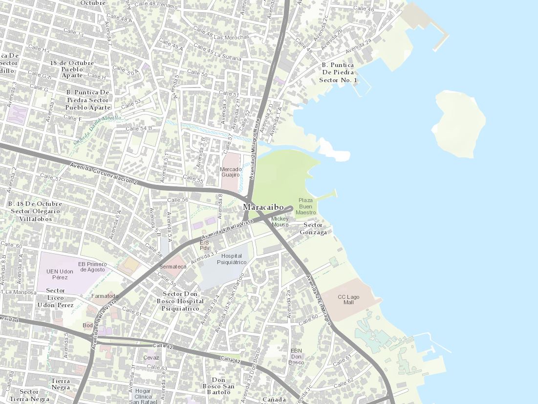
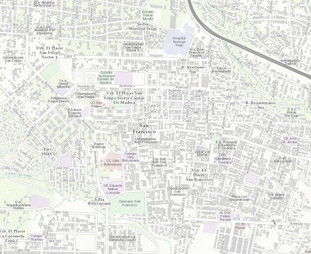
There are two updates in South America that include Maracaibo, Venezuela (Topo 1:9k to 1:1k), and San Francisco, Venezuela (Topo 1:9k to 1:1k). Content for these updates was provided by Esri Venezuela.
Maracaibo, Venezuela 1:9K
San Francisco, Venezuela 1:9K
Showcase your organization! If you work for an organization that is benefiting from Community Maps Participation and would like to share your work with our expanding user community, please contact Shane Matthews (smatthews@esri.com) or Community Maps (communitymaps@esri.com) and tell us your story and have a chance to be featured in a Community Maps Webinar segment.
Here’s a list of all the community contributors for this release:
- Bellingham, WA (Topo 1:9k to 1:1k) New Contributor
- Eagle County, CO (Topo 1:9k to 1:1k) New Contributor
- Loveland, CO (Topo 1:9k to 1:1k) New Contributor
- Pueblo, CO (Topo 1:9k to 1:1k) New Contributor
- Luna County, NM (Topo 1:9k to 1:1k) New Contributor
- Fulton County, OH (Topo 1:9k to 1:1k) New Contributor
- Shelby County, TN (Topo 1:9k to 1:1k) New Contributor
- University of North GA (Topo 1:9k to 1:1k) New Contributor
- Altagracia, Venezuela (Topo 1:9k to 1:1k) New Contributor (Esri Venezuela)
- Anchorage, AK (Topo 1:9k to 1:1k) Update
- Tacoma, WA (Topo 1:9k to 1:1k) Update
- Commerce City, CO (Topo 1:9k to 1:1k) Update
- Sioux Falls, SD (Topo 1:9k to 1:1k) Update
- Appleton, WI (Topo 1:9k to 1:1k) Update
- Carrboro, NC (Topo 1:9k to 1:1k) Update
- Netherlands (Topo 1:72k to 1:1k) Update
- Maracaibo, Venezuela (Topo 1:9k to 1:1k) Update (Esri Venezuela)
- San Francisco, Venezuela (Topo 1:9k to 1:1k) Update (Esri Venezuela)
These contributions were made through the Community Maps Program. For more information visit the Community Maps Program Resource Center.
The service was updated on the following servers: services.arcgisonline.com and server.arcgisonline.com. If you have previously used the World_Topo_Map, you may need to clear your cache in order to see the updates.
If you have feedback on content, try our Topographic Map Feedback web map.
If you have other feedback or comments, please post them to the ArcGIS Discussion Group on GeoNet.
You must be a registered user to add a comment. If you've already registered, sign in. Otherwise, register and sign in.