Fill Voids in DEM
- Subscribe to RSS Feed
- Mark as New
- Mark as Read
- Bookmark
- Subscribe
- Printer Friendly Page
- Report Inappropriate Content
Traditionally, there are three types of methods to fill voids in DEM like SRTM and InSAR, which are available in ArcGIS.
A method to fill voids uses a variety of interpolators; a method to determine the most appropriate void filling algorithms using a classification of the voids based on their size and a typology of their surrounding terrain; and the classification of the most appropriate algorithm for each of the voids in the SRTM data.
Obviously, the choice of void filling algorithm is dependent on both the size and terrain type of the void. Generally, the best methods can be generalized as:
- Kriging or Inverse Distance Weighting interpolation for small and medium size voids in relatively flat low-lying areas;
- Spline interpolation for small and medium sized voids in high altitude and dissected terrain;
- Triangular Irregular Network or Inverse Distance Weighting interpolation for large voids in very flat areas, and an advanced Spline Method (Topo to Raster in ArcGIS) for large voids in other terrains.
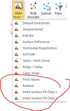
However, on our practice, two latest methods (Fill and Feather method, Delta Surface Fill), which are only available in some leading Remote Sensing packages (below), are mostly recommended to do DEM/ DTM filling task in operation.
You must be a registered user to add a comment. If you've already registered, sign in. Otherwise, register and sign in.