Mostly Mapping Map of the Week - Amazon Fires
- Subscribe to RSS Feed
- Mark as New
- Mark as Read
- Bookmark
- Subscribe
- Printer Friendly Page
- Report Inappropriate Content
The destructive fires in the Amazon are causing global concern, and are in the news...So here's a really quick app leveraging ArcGIS Online and Living Atlas content that provides a closer look. It took about about 5 minutes to come up with this very simple app, shown below:
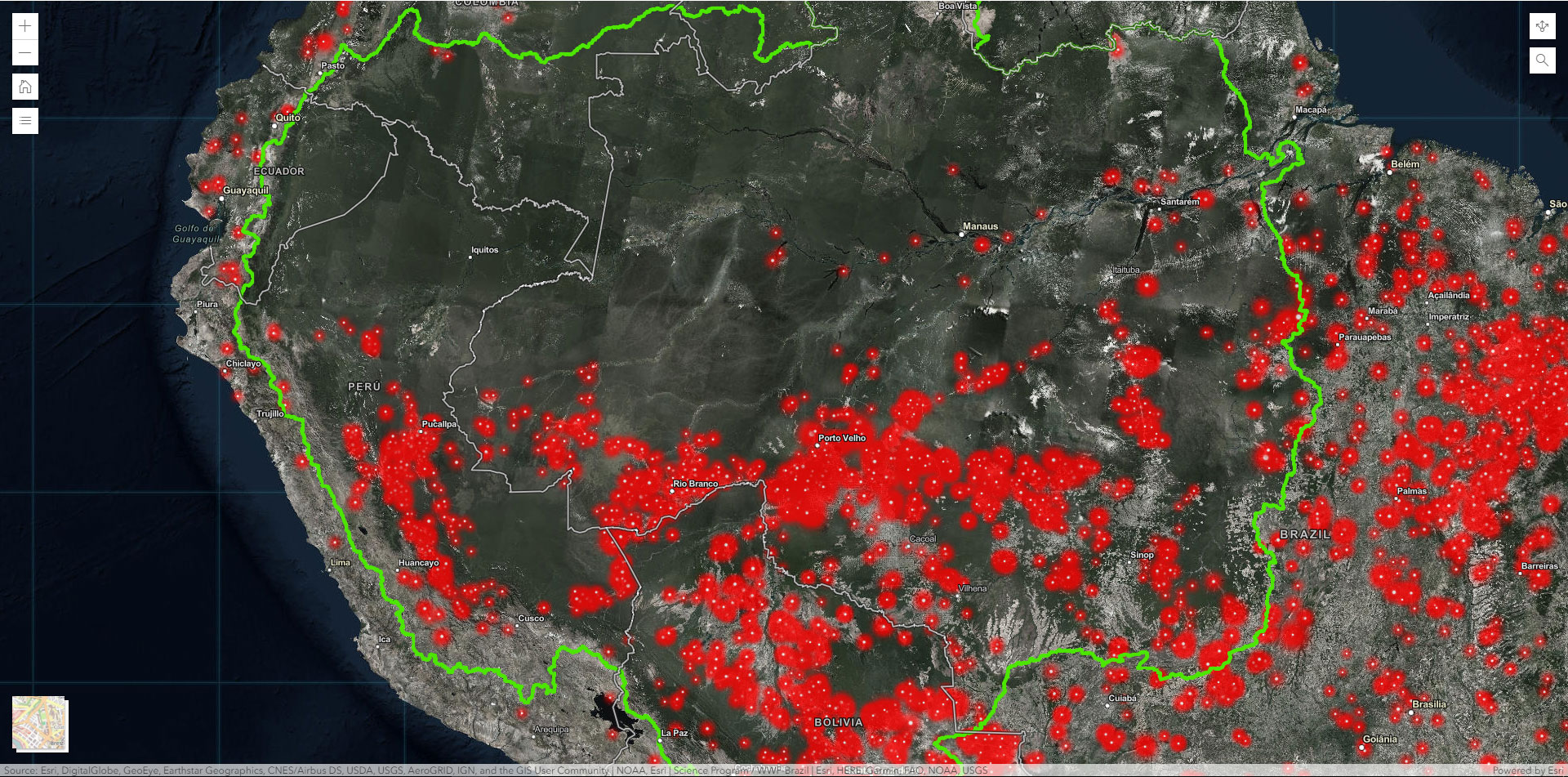
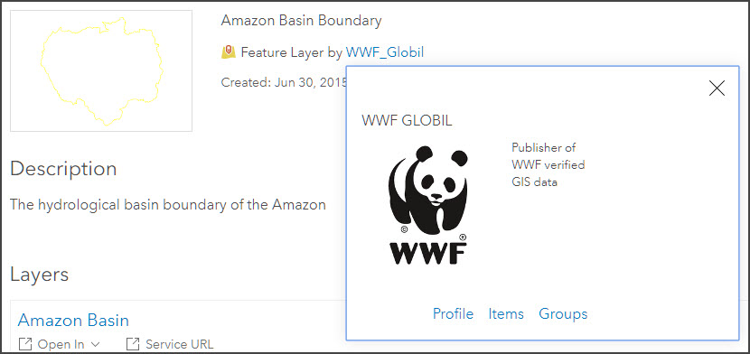
The Amazon Basin boundary is from WWF, as found on ArcGIS Online by searching for "Amazon Basin." While I'd take off a few points in my Best Practices workshop for this profile and item description, it was enough to convince me it was authoritative.
MODIS hotspots are from the ArcGIS Living Atlas of the World. Just search for "MODIS" in Living Atlas when authoring your web map.

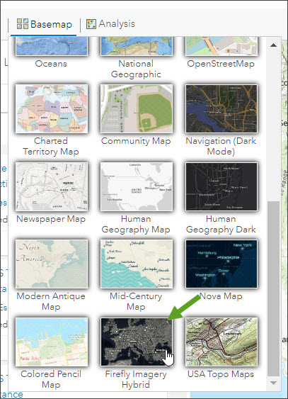
The basemap is the Firefly basemap, one of my favs, and part of the Living Atlas collection. If your organization uses the Esri Vector Basemaps, you'll find it in your Basemap Gallery.
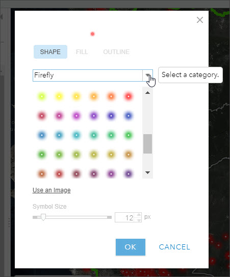
Symbols used to show the hotspots are from the Firefly symbol set.
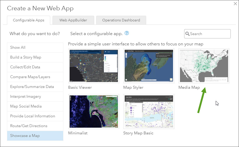
The configurable app used in this example is Media Map, available via the web map sharing and Create Web App workflow, in the Showcase A Map category tab.